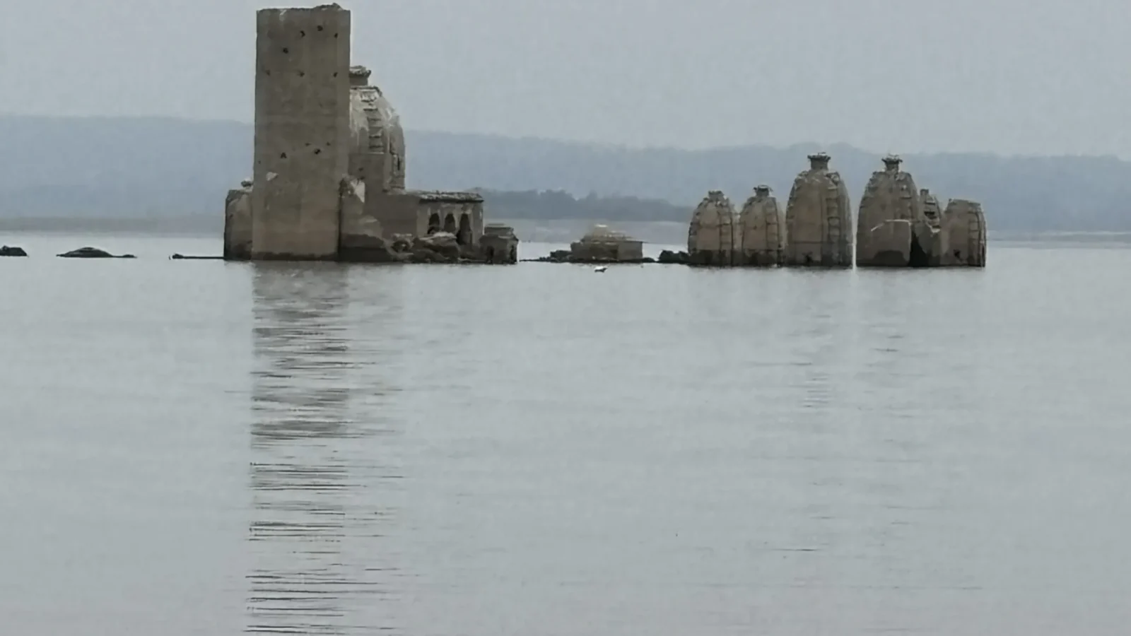
These temples have two addresses. For part of the year you walk to them, out across a cracked grey flat of dried silt with your shoes filling up. For the rest of it they are somewhere under the Pong reservoir, and the boats that carried visitors out in April pass over the shikharas without anybody on board noticing.
Bathu ki Ladi is a cluster of stone temples on a rise in Maharana Pratap Sagar — the reservoir behind the Pong Dam — in Kangra district of Himachal Pradesh. They are older than the dam by several centuries and nobody knows by how many. When the Beas was impounded in the 1970s the water came up over them, and it has been going up and down over them ever since.
This is not a trip report. It is an attempt to set out what Bathu ki Ladi actually is — what is standing there, who is supposed to have built it, and the one thing every visitor gets wrong, which is assuming the temples will be above water on the day they arrive. Anything that changes from year to year is marked as such.
Contents
- Bathu ki Ladi in numbers
- Where Bathu ki Ladi is
- What the name means
- What is actually standing on the island
- The staircase that stops
- Bathu ki Ladi history: who built it, and when
- Why it goes underwater: the Pong Dam
- Bathu ki Ladi water level: when the temples are visible
- Best time to visit Bathu ki Ladi
- How to reach Bathu ki Ladi
- The boat, and the walk across the bed
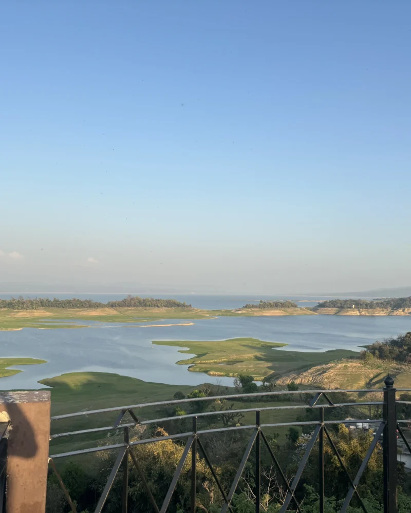
- The other reason people come: Pong Dam Lake
- Practical notes
- What to check before you go
- Questions people ask
Bathu ki Ladi in numbers
| Where | Bathu island, Maharana Pratap Sagar, Kangra district, Himachal Pradesh |
| Nearest jetty | Nagrota Surian |
| Nearest town of any size | Jawali |
| Built of | bathu, a hard local stone the temples are named for |
| Age | Unfixed. No dated inscription; published estimates run from roughly the 8th century to the 15th |
| Above water | Broadly the dry months, deepest into the pre-monsoon. The window moves every year |
| Underwater | Broadly from the monsoon through the post-monsoon high, again depending on the year |
| The dam | Pong Dam, on the Beas, commissioned in the mid-1970s |
| The lake | Notified a wildlife sanctuary in the 1980s; a Ramsar wetland of international importance since the early 2000s |
| Entry | No ticket at the temples themselves. You pay for the boat, and rates are negotiated at the jetty |
Where Bathu ki Ladi is
The site sits in the lower Kangra valley, in the flat, hot, un-Himachali part of the district — the stretch below Dharamshala where the hills give out and the Beas spreads into the Punjab plain. This is not mountain country. In May it is genuinely hot, and the light coming off the water and the exposed lakebed is punishing.
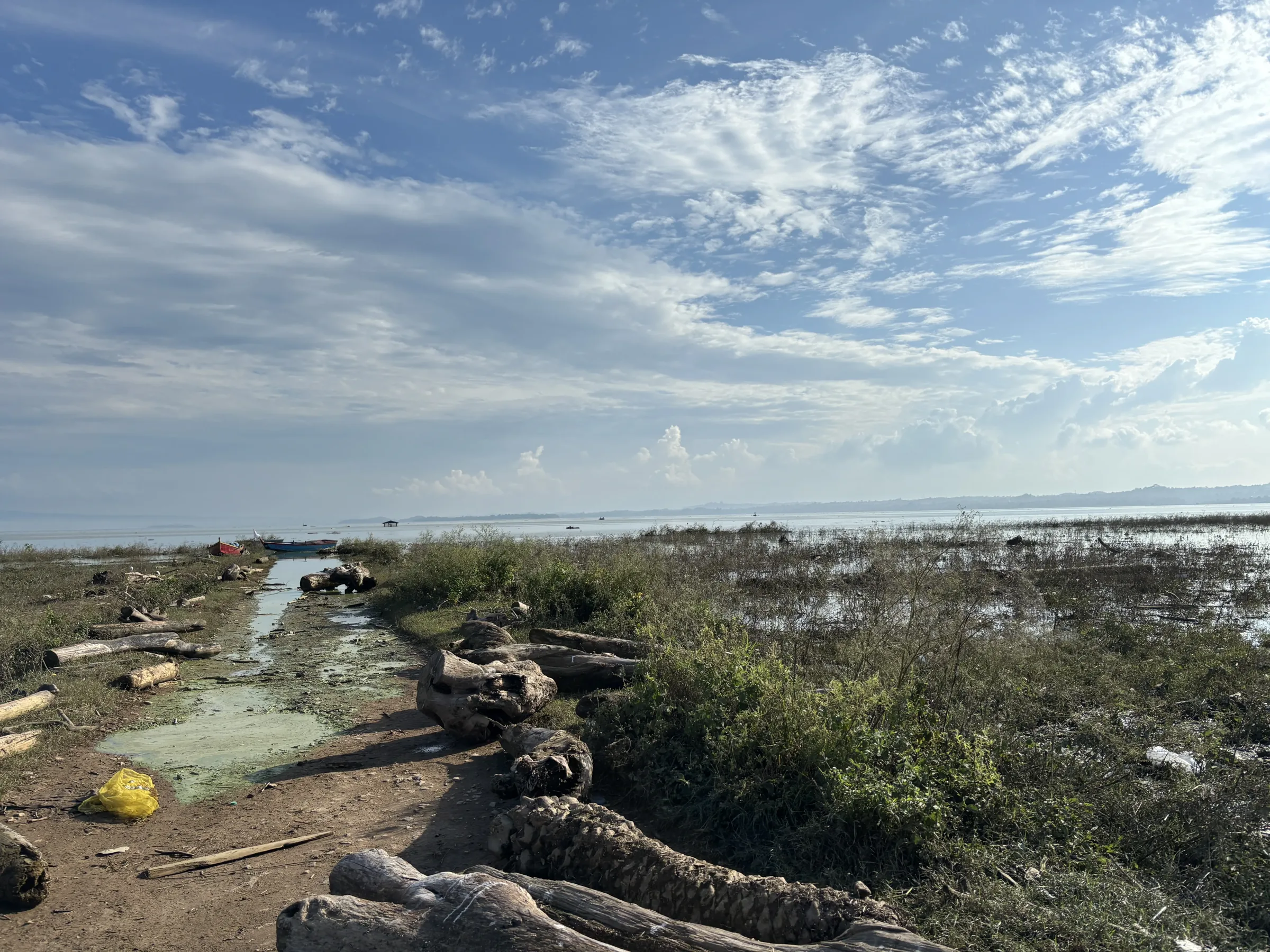
The temples stand on a low mound that was a hill before 1974 and has been an island since. Most people approach from Nagrota Surian, on the north-eastern shore, which is where the boats are. The Jawali side is the other common approach. Which one makes sense depends entirely on how much water is in the lake that week, because the shoreline moves by kilometres between seasons — a jetty that has boats tied to it in September can be standing in a dry field in June.
What the name means
Bathu is the local name for the stone the temples are cut from — hard, close-grained, and durable enough that four decades of being drowned and dried have not dissolved it. Ladi means a string, a garland, a necklace. The temples are named for the fact that they stand in a line: a string of Bathu stone.
You will see the name written a dozen ways — Bathu ki Ladi, Bathu Ki Ladi, Bathu ki Laddi, Bathu Temple, the Bathu island temples. They are all the same place. The stone is the reason the site still exists at all; almost nothing else built in the drowned villages of the Pong basin survived the water.
What is actually standing on the island
A main temple, considerably larger than the rest, with a group of smaller shrines around and behind it. Counts vary depending on what the counter is willing to call a temple — some of the smaller structures are little more than a plinth and a stub of superstructure now. Eight is the number most often repeated.
The architecture is north Indian nagara: curvilinear spires, a sanctum, carved figures on the outer walls where the surface has not been worn smooth. The main shrine is generally identified with Vishnu. Carved images associated with the site include Kali and Ganesha, and there is a Shiva association as well — enough that guides will tell you three or four different things about what the temple is of, all of them defensible, none of them settled.
What the photographs do not convey is the condition. Annual submersion has taken the crispness off every carved surface it can reach. Silt gets into everything. The stone is scratched over with the names of visitors. There is no resident custodian, no ticket office, no signage worth the name, and no conservation effort visible on the ground.
The staircase that stops
Inside the main temple a flight of narrow stone steps climbs the wall and then simply ends, some way up, at nothing. It is the detail every account of the place fastens onto, and it is the source of the site’s best-known story.
Local tradition attributes the temples to the Pandavas, built during the year of their exile, and reads the staircase as the beginning of a stairway to swarg — heaven — abandoned unfinished when the exile ended, or when the gods objected, depending on who is telling it. The Pandava attribution is the standard folk explanation for old, undated, impressively built things across the western Himalaya; it is a claim about how remarkable the temples are, not a construction date.
The prosaic reading is that the stair led to an upper chamber or a level of the superstructure that no longer exists. That explanation is duller and almost certainly right, and it has not made the slightest dent in the other one.
Bathu ki Ladi history: who built it, and when
Honestly: not established. There is no dated foundation inscription in the public record, no securely attributed patron, and no excavation report that settles the question. Estimates in circulation range across seven hundred years, from around the 8th century to as late as the 15th, and the wide spread is itself the finding — the site has never had the sustained archaeological attention that would narrow it.
What can be said is that the temples belong to the long tradition of stone nagara shrines in the Kangra and Chamba hills, that they were built somewhere in the medieval centuries, and that they stood on dry ground beside the Beas for most of their existence and served whatever settlement was around them. That settlement is gone. The reservoir displaced a great many villages in this basin in the early 1970s, and the resettlement of those families — a large number of them sent to Rajasthan — remains a live grievance in Kangra half a century later. The temples are the most visible thing left of a landscape that was populated before it was flooded.
Treat any article that gives you a confident single century for Bathu ki Ladi as repeating one guess out of several.
Why it goes underwater: the Pong Dam
The Pong Dam is a large earth-fill dam on the Beas, built through the 1960s and commissioned in the mid-1970s, and the reservoir behind it — Maharana Pratap Sagar — is one of the biggest man-made lakes in the region. It exists to store monsoon water for irrigation in Punjab and Rajasthan and to generate power, and both of those jobs mean the same thing for a visitor: the lake is deliberately filled and deliberately emptied on an annual cycle.
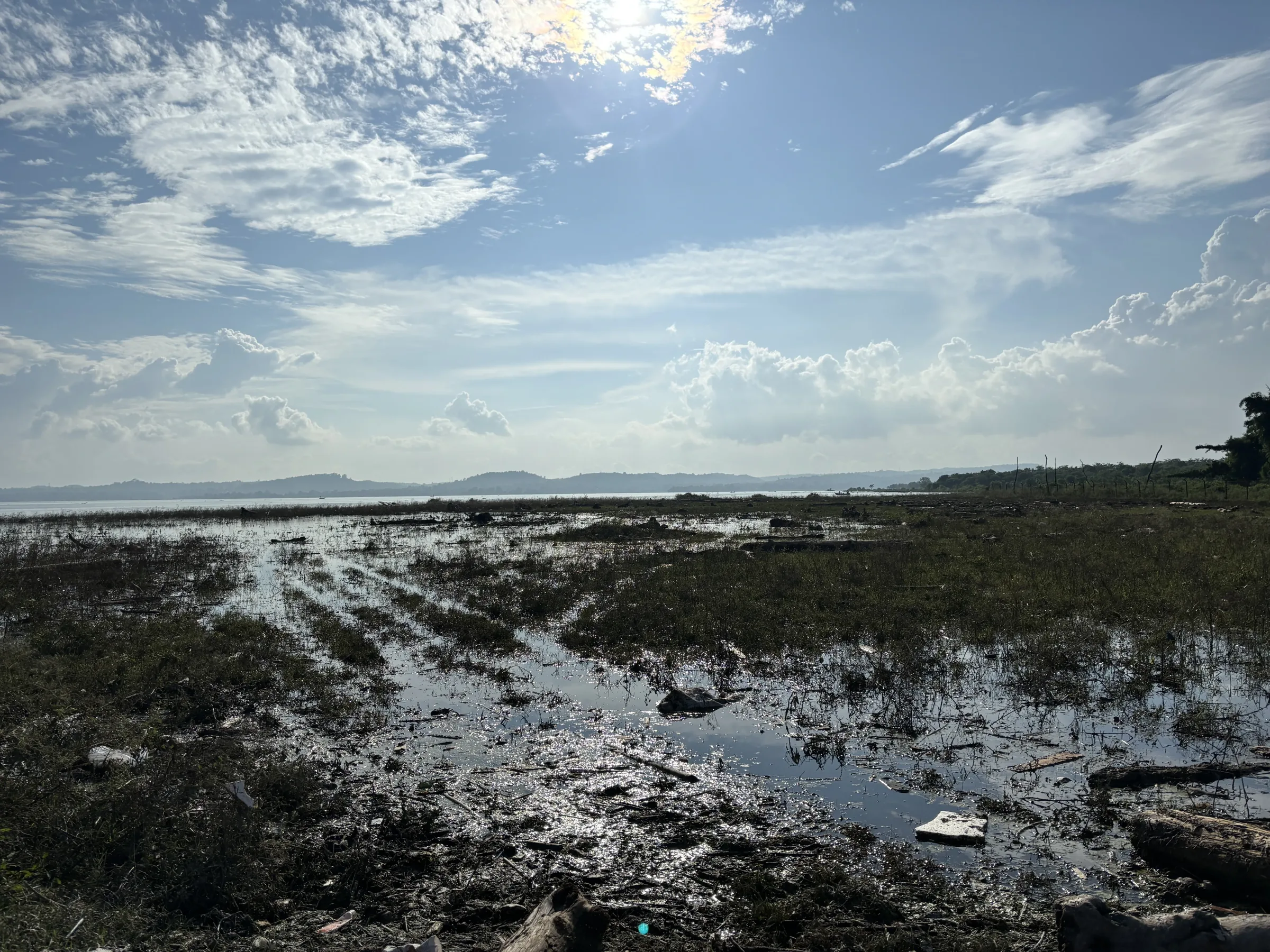
It fills through the monsoon, holds near its high after it, and is then drawn down through the cold months and into the spring as the water is released downstream. By the end of the pre-monsoon dry season it is at its lowest, and a great deal of lakebed is standing in the open air. Bathu ki Ladi is exposed and re-drowned by that schedule, not by anything to do with the temples.
Which is why the useful question is never what month should I come. It is where is the water right now.
Bathu ki Ladi water level: when the temples are visible
The broad pattern is reliable. The temples are out of the water for a long stretch of the dry season and under it around and after the monsoon. Exposure builds as the drawdown continues, so late in that stretch you can usually walk to the island, while earlier you may need a boat to reach a partially standing structure.
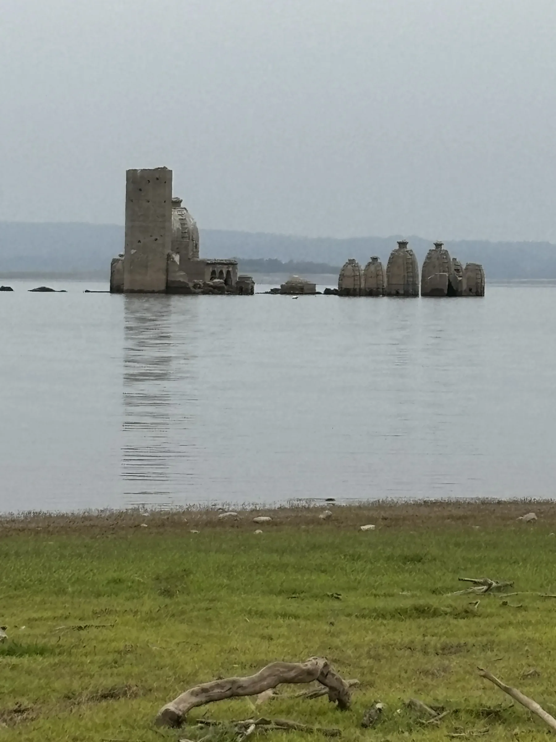
The specific dates are not reliable, and this is where most published advice fails. Different sources give different months — some say the temples appear as early as the post-monsoon, others that you should not bother before spring — and they are not all wrong; they are describing different years. A heavy monsoon, a late one, or a change in release schedules moves the window by weeks. There is no fixed calendar date on which Bathu ki Ladi comes up.
Two things actually work. The Bhakra Beas Management Board, which operates the dam, publishes reservoir levels for Pong; watching where the level sits against its seasonal high tells you which way the shoreline is moving. And a phone call to a boat operator or a guesthouse at Nagrota Surian will get you the answer for that week, which no website can. Do the second one at minimum. People drive several hours to a viewpoint and find open water.
Best time to visit Bathu ki Ladi
There is a real trade-off here, and it is worth understanding before you pick dates.
- Deep in the dry season, before the monsoon. Maximum exposure — the temples fully out, the walk across the bed possible. Also the hottest and hardest light of the year in lower Kangra, with no shade anywhere on the island and a long walk over baked silt to reach it. Go early in the morning or don’t go.
- The winter months. Far more comfortable, and this is when the migratory birds are on the lake, so the trip earns its way even if the temples are only partly clear. How much is showing depends on how the drawdown has gone.
- Monsoon and just after. The temples are under. The lake is full and genuinely beautiful and you will not see a temple. Some operators will still take you out over the site.
If the temples are the point of the trip, aim at the dry season and confirm locally. If you want the lake, the birds and the temples as a bonus, winter is the better trip.
How to reach Bathu ki Ladi
Everything routes through Nagrota Surian or Jawali, and then to the water.
| From | How |
|---|---|
| Dharamshala / McLeod Ganj | Road, down out of the hills via the Kangra–Jawali side. The usual base for visitors already in Himachal; a comfortable half-day out and back if the timing is right |
| Pathankot | Road east into lower Kangra. The nearest major railhead and the usual entry point from Punjab or Jammu |
| By train | The Kangra Valley narrow-gauge line from Pathankot runs through this part of the district and has a station at Nagrota Surian. Slow, scenic, and dependent on which sections are running — check current status, this line is often partly suspended |
| By air | Gaggal (Kangra) airport is the nearest, then road |
| Last leg | Nagrota Surian or Jawali to the jetty, then boat — or, at low water, a drive to the edge of the bed and a walk |
Public transport gets you to Jawali and Nagrota Surian. It does not get you to the water. Plan on a taxi or your own vehicle for the last stretch, and on the same vehicle waiting for you, because there is nothing at the far end.
The boat, and the walk across the bed
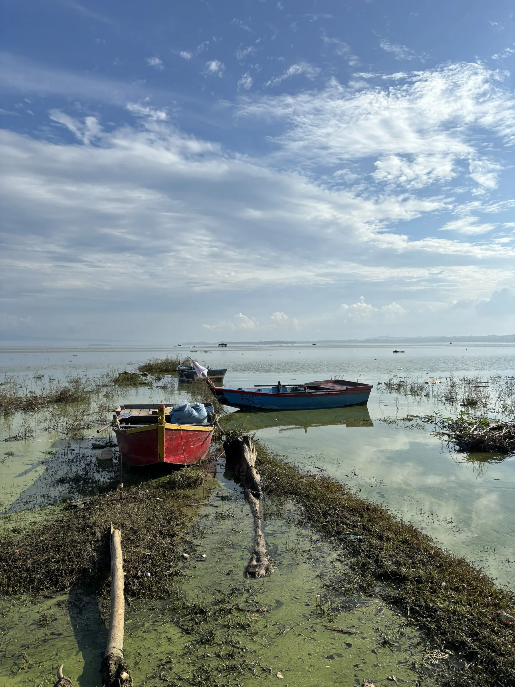
When the water is up, you take a motorboat out from the jetty. Fares are negotiated, not posted, and the sensible move is to agree the price and the waiting time before you get in. Boats do not run in bad weather and there is no scheduled service to fall back on.
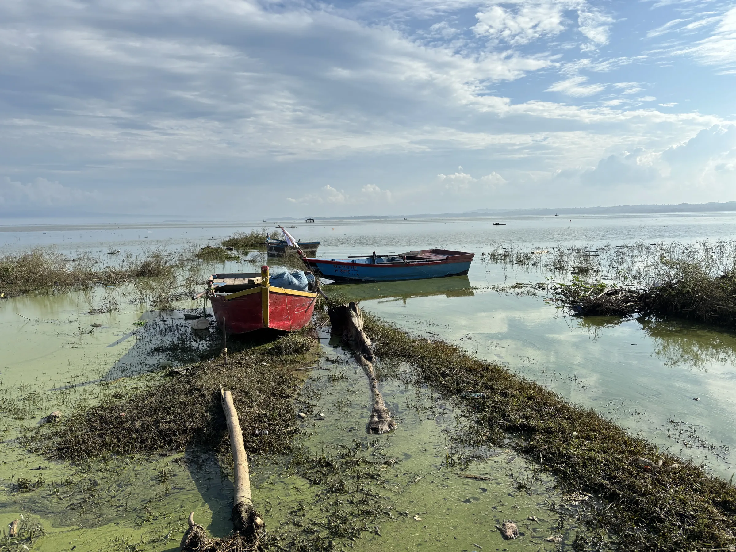
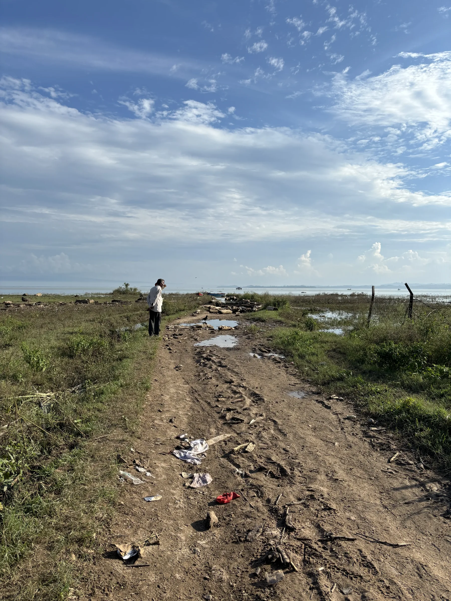
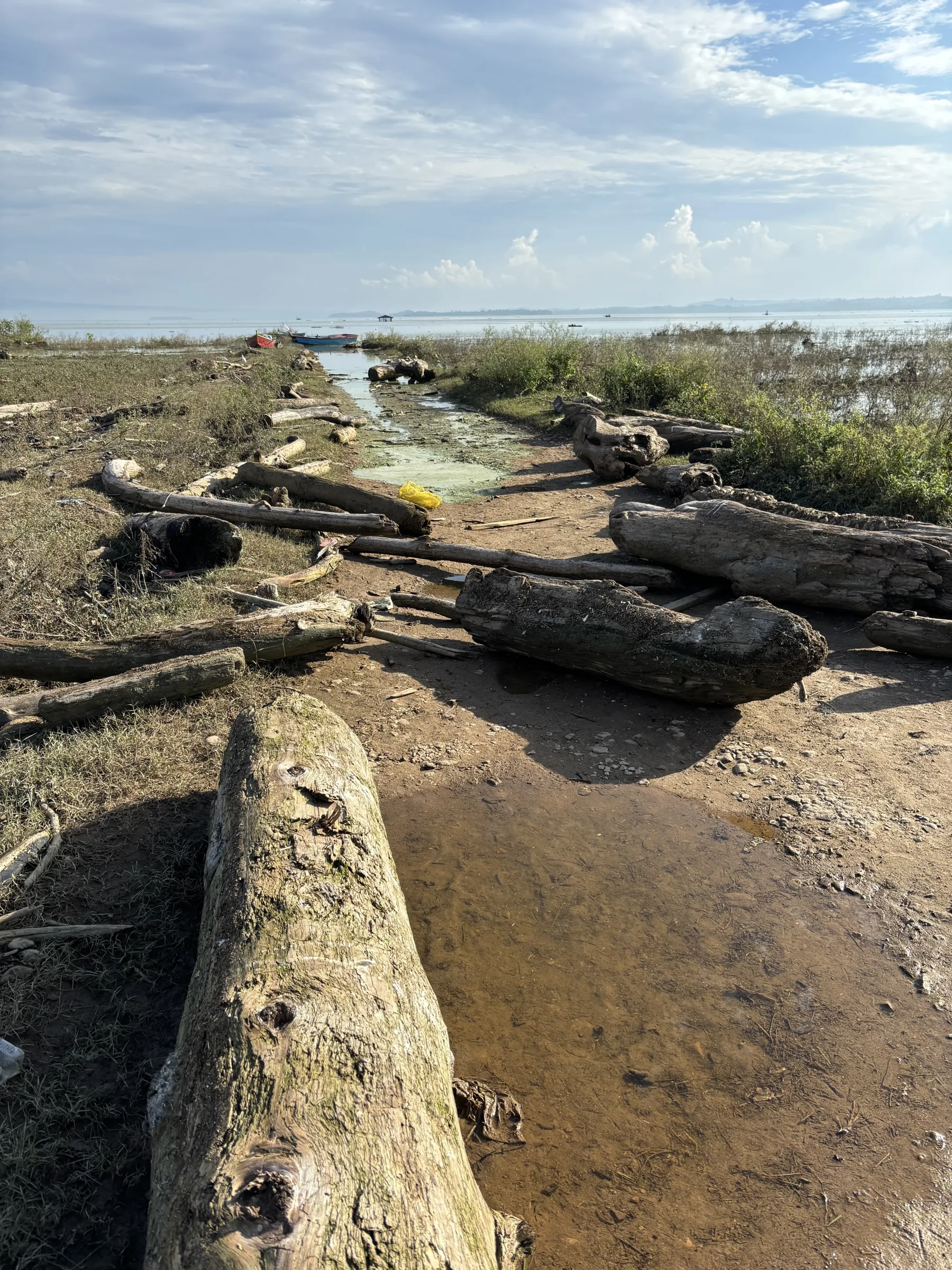
When the water is down, the island stops being an island and you walk. This is less charming than it sounds. The exposed bed is fine silt, it holds moisture under a dry crust in patches, and it is featureless — there is no path, no marker and no shade between the shore and the temples. Vehicles get stuck out there routinely. Walk it, in the morning, with water.
The other reason people come: Pong Dam Lake
Maharana Pratap Sagar is a protected wetland and one of the more important wintering sites for migratory waterbirds in north India. Bar-headed geese are the signature species — the ones that cross the Himalaya at absurd altitude — along with pintails, ruddy shelduck, coots, and a long list of ducks and waders. Numbers build from late autumn and thin out in early spring.
Nagrota Surian is the usual base for this too, which is convenient: the birding season and the comfortable weather overlap, and the temples may well be visible in the same window. If you are making the drive from Dharamshala, treating this as a lake trip with temples in it rather than a temple trip is the version that survives a bad water year.
Practical notes
- There are no facilities on the island. No water, no toilet, no shade, no shop, no phone signal you should rely on. Carry what you need out and carry it back.
- Go early. The heat and the light both get worse through the day, and the reflected glare off silt and water is harder than the temperature suggests.
- Footwear you don’t mind ruining. Silt gets into everything and stays there.
- Agree boat fare and waiting time in advance, in cash, before boarding.
- The site is unstaffed and unguarded. Don’t climb on the structures, and don’t add to the graffiti — the stone has survived fifty years of being drowned annually and is being worn down faster by visitors than by the lake.
- It is a live place of worship for people who come out to it, not only a ruin. Behave accordingly.
What to check before you go
Everything above that is about stone is stable. Everything about water is not. The specific things worth confirming for your dates:
- Whether the temples are currently above water, from someone at Nagrota Surian rather than from an article — this one included.
- Whether boats are running, and from which jetty, since the usable shore moves with the level.
- Current road access to the shoreline point people are using this season.
- Kangra Valley Railway status, if you were planning to arrive by train; sections of the line are frequently out of service.
Questions people ask
What is Bathu ki Ladi?
A line of medieval stone temples on an island in the Pong Dam reservoir in Kangra district, Himachal Pradesh, submerged for part of every year by the lake and exposed for the rest. The name means, roughly, a string of Bathu stone.
Who built the Bathu ki Ladi temples?
Unknown. Local tradition credits the Pandavas; historically the temples belong to the medieval north Indian stone temple tradition of the Kangra hills, with dating estimates spread across several centuries and no inscription to fix them.
When are the Bathu ki Ladi temples visible?
During the reservoir’s drawdown — broadly the dry months, with maximum exposure before the monsoon. The exact window shifts every year with rainfall and water release, so confirm locally rather than booking against a month you read somewhere.
Can you see the temples when they are underwater?
Not meaningfully. The spires may break the surface as the level falls or rises, but at full reservoir the site is simply under the lake and a boat trip will show you water.
Is there an entry fee at Bathu ki Ladi?
Not at the temples. Your cost is the boat, negotiated at the jetty, or the taxi to the edge of the lakebed if you are walking out.
Is the staircase really a stairway to heaven?
It is a flight of steps inside the main temple that ends part way up a wall. The stairway-to-swarg story is the local tradition attached to it. The likely explanation is an upper level that no longer stands.
Is Bathu ki Ladi worth visiting?
If the water is down, yes — there are not many places where you walk across a lakebed to a medieval temple. If you cannot confirm the water is down, pair it with the lake and the birds so the drive is worth making either way.


1 comment